Mapping the Philippine Seas
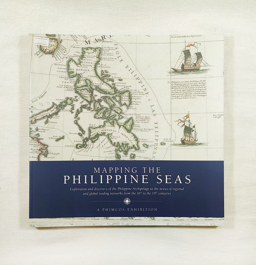
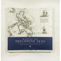
Mapping the Philippine Seas
A Phimcos Exhibition
Exploration and discovery of the Philippine Archipelago as the nexus of regional and global trading networks from the 16th to the 19th centuries.
This is an exhibition of rare historical maps and charts of the Philippine archipelago and its surrounding seas from the early 16th century to the end of the 19th century. The exhibition showcases 165 original maps and sea charts from the collections of 17 PHIMCOS members, another private collector, and the GSIS Museo ng Sining, and a reproduction of the Selden Map courtesy of the Bodleian Library, University of Oxford.
The theme of the exhibition is the use of cartography to explain the historical importance of the location of the Philippines along the maritime trade routes through east and southeast Asia, the voyages of discovery, and the use of those trade routes made by European explorers, colonists and traders, the search for new, faster and safer sea passages around and through the Philippine archipelago, and the use of scientific hydrography to improve the charts and thereby the safety of seafarers.
P 2500.00